FIRST ALERT|Gloomy skies persist in the Panhandle
PANAMA CITY, Fla. (WJHG/WECP) -
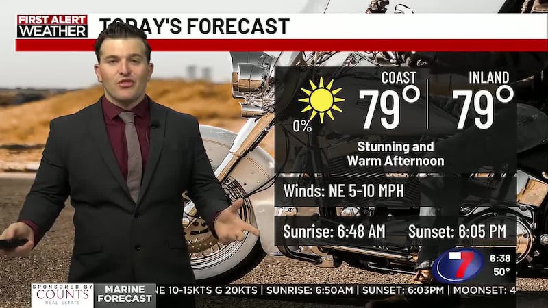
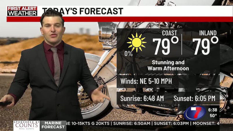
TODAY: A gloomy day is ahead for Northwest Florida after a wet start. Widespread showers took place across the Panhandle to kick off the workweek, and more showers are possible later in the afternoon. No washouts are expected, but you may find yourself using an umbrella for parts of your day. Skies overhead remain gloomy, holding our high temperatures back into the upper 70s.
TONIGHT: More showers can’t be ruled out later tonight, with mostly cloudy skies. Showers are expected to be light heading into tonight, with most of the showers happening inland.
LOOKING AHEAD: A frontal boundary that has been producing the active pattern, sticks with us. Another round of showers is expected Tuesday, with another day of highs into the low 80s and upper 70s across the Panhandle. Skies will be mostly to partly cloudy for the remainder of the week, with slight rain chances by midweek. Towards the end fo the week, low pressure returns to Northwest Florida, giving us another active weekend.
To stay up to date on all the latest news as it develops, follow WJHG on Facebook, Instagram and X (Twitter).
Have a news tip or see an error that needs correction? Email news@wjhg.com. Please include the article’s headline in your message.
Keep up with all the biggest headlines on the WJHG News app, and check out what’s happening outside using the WJHG Weather app.
Copyright 2026 WJHG. All rights reserved.